

2024 Ecological Assessment of the Illinois River Watershed
Monitoring ecological health and watershed conditions to improve management decisions.
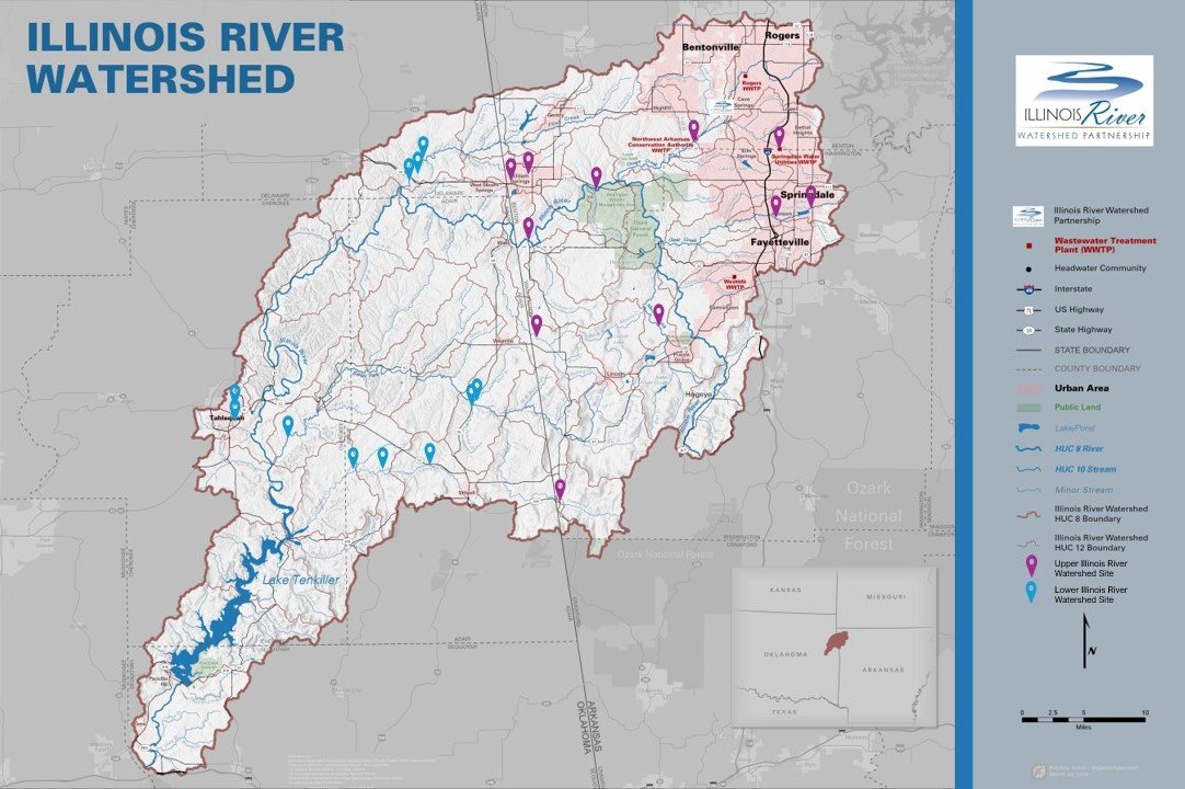
Subwatershed Studies in OK and AR
*
Subwatershed Studies in OK and AR *
How do we study ecosystem health in the watershed?
In 2018, 2019, 2022, and 2024 IRWP partnered with local schools - largely through Environmental and Spatial Technology (EAST) programs - to assess Arkansas sub-watersheds for ecological assessment in April, August, and November of each year. In 2020 , 2021, and 2023 IRWP partnered with Oklahoma Conservation Commission’s Blue Thumb staff and volunteers to assess Oklahoma sub-watersheds during the same months.
QUALITY ASSURANCE
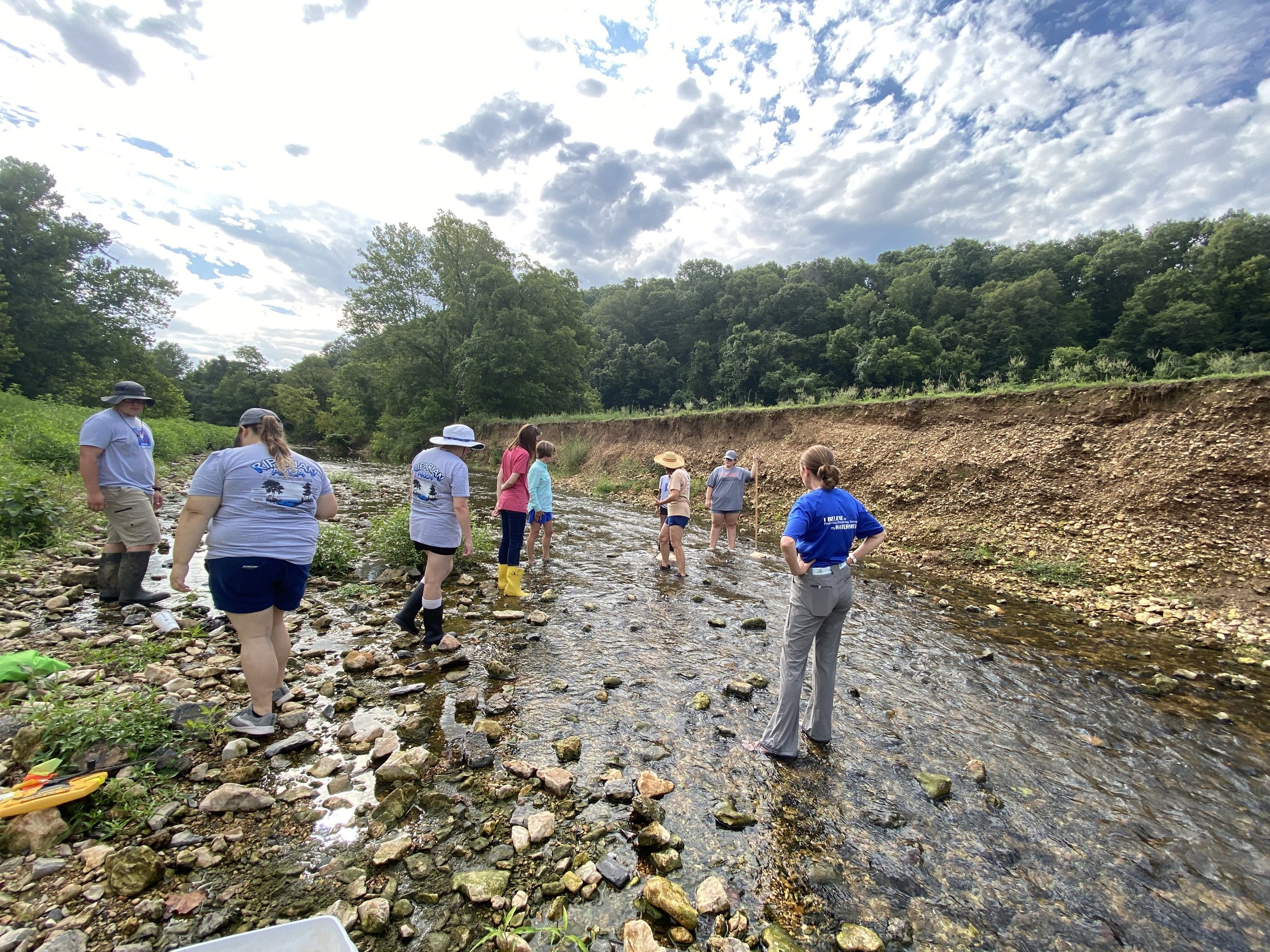
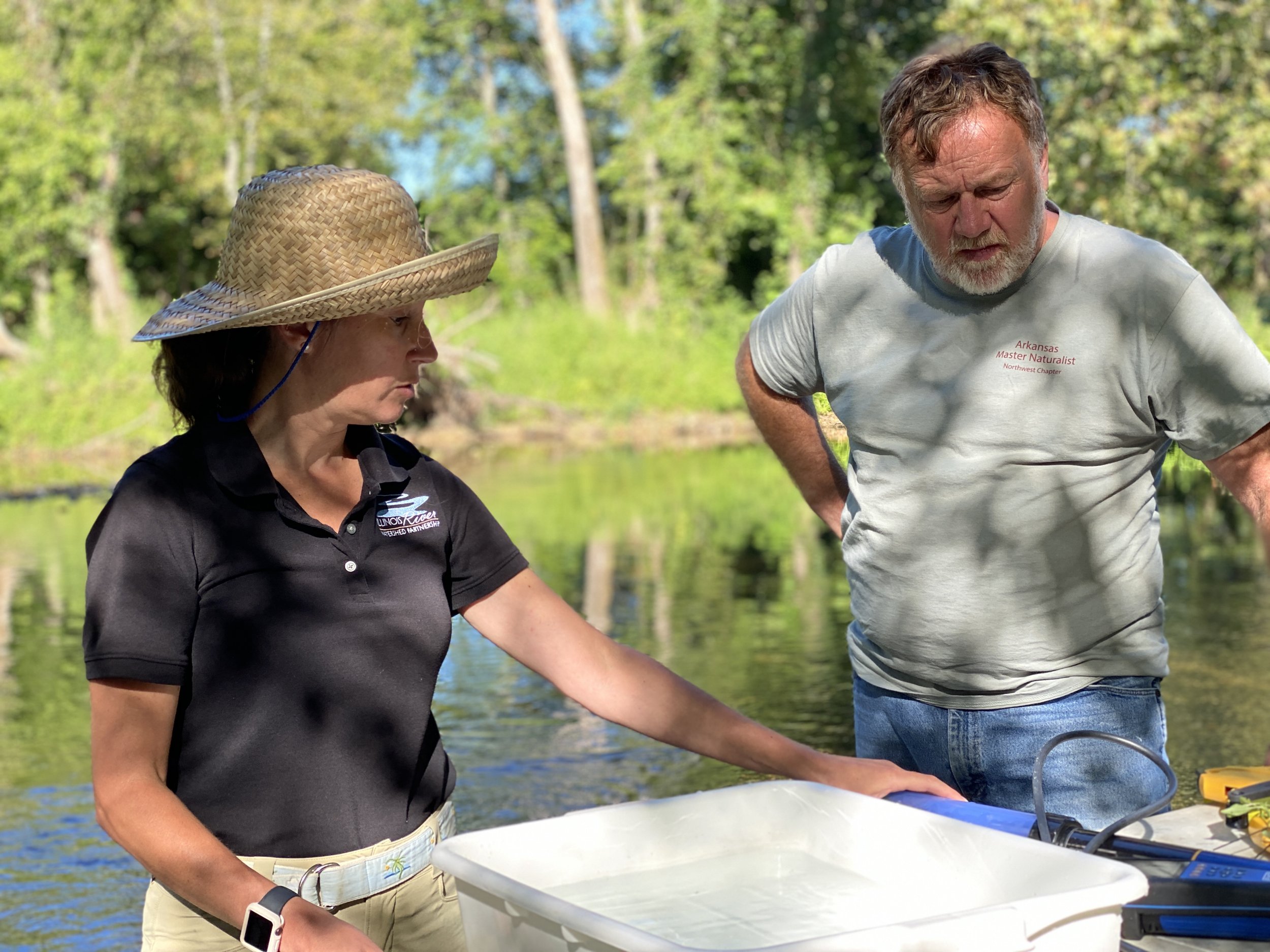
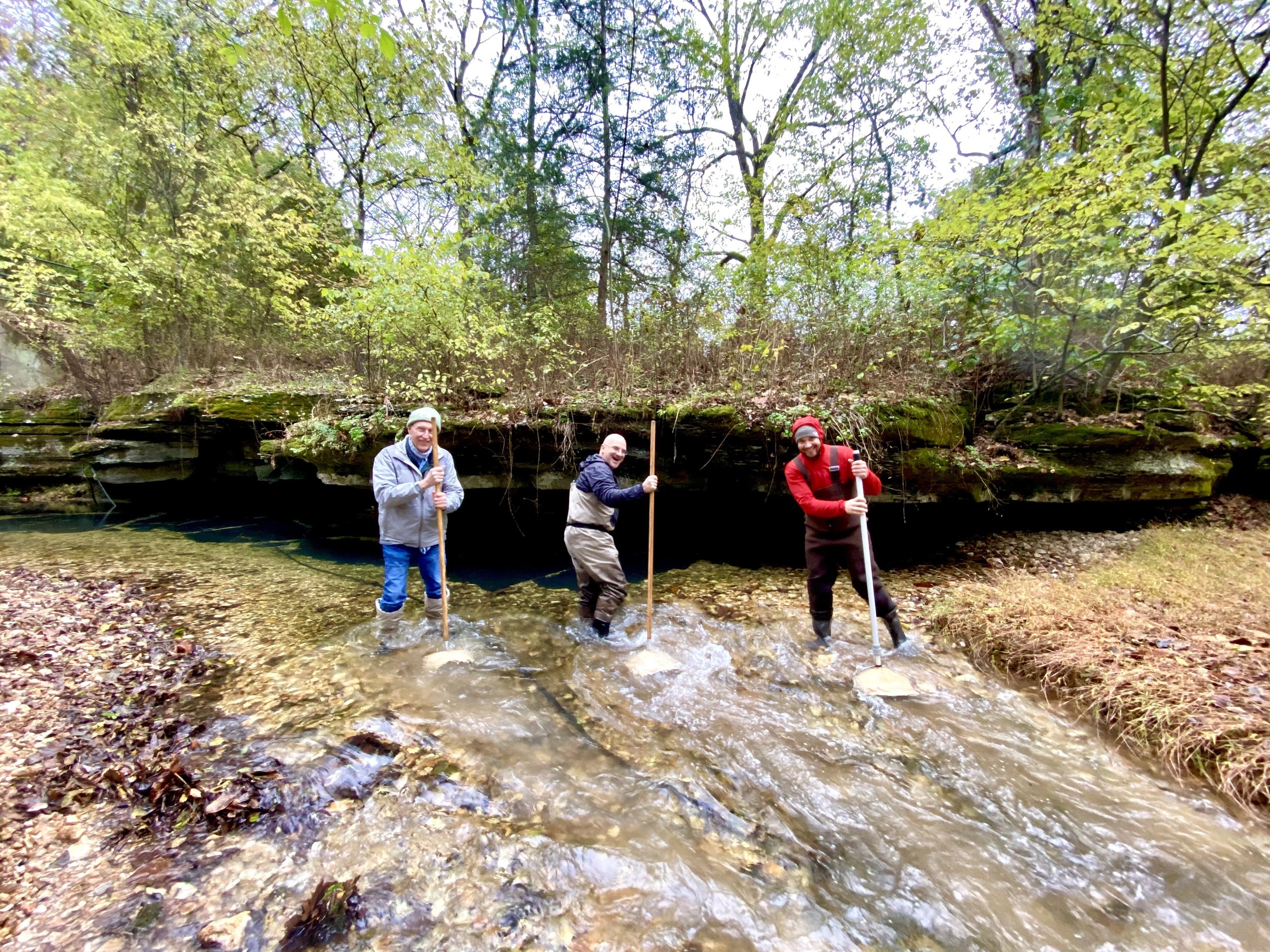
We conducted stream habitat assessments, macroinvertebrate sampling, land use change analysis, and water quality testing through AWRC, GRDA, and the Tyson Foods labs.
We conducted statistics analysis using accepted methods such as EPA’s Volunteer Stream Monitoring: A Methods Manual, the Arkansas Game and Fish Commission’s Stream Team method for macroinvertebrate scoring.
Below is the summary data from the study. To quickly access a sub-watershed of your choosing, click the following stream reaches to jump to that section.

Water Quality Summaries
MACROINVERTEBRATES
Benthic macroinvertebrates are small invertebrate animals that live on and within water body substrate (material on the stream bottom). They represent an important indicator of the biological health of the Illinois River and its sub-watersheds. Species such as Mayflies, Stoneflies, Midges and Crayfish are reliable indicators of water quality throughout the watershed because they spend all or most of their lives in water, are easy to collect, and differ in their tolerance to pollution.
A high macroinvertebrate diversity index score indicates more diversity and/or quantity of macroinvertebrates, which in turn means better overall health of the aquatic ecosystem.


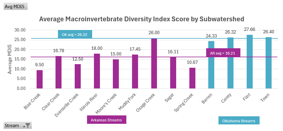
Macroinvertebrate Diversity Results in Oklahoma and Arkansas
Oklahoma sub-watersheds had a higher average macroinvertebrate diversity index score (MDIS) than Arkansas sub-watersheds.
Osage Creek had the highest average MDIS on the Arkansas side of the watershed while Flint Creek had the highest average MIDS on the Oklahoma side. Blair Creek had the lowest average MDIS of all sub-watersheds assessed with Spring Creek scoring second lowest.
NITRATES
Nitrate concentration was found to have a significant negative correlation to MDIS and is a concern for the watershed as a nutrient. It is a parameter that qualifies a few Illinois River stream reaches as impaired.
A high nitrate concentration indicates non-point source pollution of fertilizer and nutrients feeding into the stream reach. Nitrates contribute to a phenomenon called eutrophication where excess nutrients feed algal blooms, leading to lower dissolved oxygen which could suffocate aquatic life.

Nitrate Concentration Results in Oklahoma and Arkansas
All assessed stream reaches fell well under this criterion. Arkansas sub-watersheds averaged a higher concentration of nitrates than Oklahoma sub-watersheds.
Blair Creek and Evansville Creek did have substantially lower nitrate concentration averages than the rest of the Arkansas stream reaches. Barren Fork averaged the lowest nitrate concentration of all sub-watersheds and of the remaining Oklahoma stream reaches, Town Branch averaged the highest concentration.
PHOSPHORUS
Total phosphorus concentration is a concern for the watershed as a nutrient. It is a parameter that qualifies a few Illinois River stream reaches as impaired.
A high phosphorus concentration indicates non-point source pollution of fertilizer and nutrients feeding into the stream reach. Phosphorus contributes to a phenomenon called eutrophication where excess nutrients feed algal blooms, leading to lower dissolved oxygen which could suffocate aquatic life.

Total Phosphorus Concentration Results in Oklahoma and Arkansas
The criteria standard for total phosphorus (TP) concentration is 0.037mg/L, which is marked with the black line on the graph. Only Barren Fork’s average TP concentration fell below this criteria standard.
In the full report, graphs over time for both Arkansas and Oklahoma’s stream reaches show that the only waterway to decrease in TP concentration over time is Arkansas’ Sager Creek. All other streams either increased in concentration or fluctuated. This is a troubling trend across both sides of the watershed.
Muddy Fork had the highest average concentration of TP. Arkansas’ average is nearly double that of Oklahoma’s.
SULFATES
Sulfates were found to have a significant negative correlation to MDIS and it is a marker of human development and impact. Some fluctuation can be attributed to natural processes including erosion of limestone.
A high sulfate concentration typically occurs in watersheds with developed land and watersheds with wastewater treatment plant discharges.

Sulfate Concentration Results in Oklahoma and Arkansas
The criteria standard for sulfate concentration in the surface waters of the Illinois River is 20 mg/L. All sub-watersheds except the Illinois River and Osage Creek had a sulfate concentration average that fell beneath this threshold.
In the full report, graphs over time for both Arkansas and Oklahoma’s stream reaches show that the only waterway to decrease in sulfate concentration over time is Arkansas’ Sager Creek. All other streams either increased in concentration or fluctuated. This is a troubling trend across both sides of the watershed.
Arkansas stream reaches studied had a higher average sulfate concentration than Oklahoma’s.
TOTAL COLIFORM
Total Coliforms are a group of bacteria found in soil and human or animal waste. Total coliforms were found to have a significant negative correlation to MDIS and pathogens are listed as impairments in many of the watershed’s stream reaches.
A high total coliform concentration generally indicate the presence of potential pathogens when found in high concentrations or as an unusually high spike when monitored in stream reaches.

Total Coliform Concentration Results in Oklahoma and Arkansas
The laboratory maximum detection limit for total coliforms is 2,419.6 MPN/100mL. This means that any concentration in excess of this value are recorded as 2,419.6.
In Oklahoma, data trends year by year for total coliform concentration changes have shown an overall downward trend, which is promising. In Arkansas, all stream reaches except for Clear Creek and Spring Creek had an average total coliform concentration of the detection limit, which does not give much insight into changes over time. These graphs showing trends over time are included in the full report.
CORRELATIONS
Correlation regressions were run to determine which stream characteristics had a significant relationship with MDIS.
Variables highlighted in green were found to be medium-strong positively correlated with high significance.
Variables highlighted in pink were found to be medium-strong negatively correlated with high significance.
The full report discusses these relationships and their implications.

Summaries of AR Waterbodies

Ballard Creek
Ballard Creek is an agriculture dominant sub-watershed with a decent coverage of deciduous forest. Chicken farming and cattle grazing are a major feature across this landscape. Highways 59, 62, and 244 cut the 72 km2 area into four quadrants. The headwaters of Ballard creek are to the west of Lincoln and travels into Oklahoma before connecting with the Illinois River main stem near Watts Oklahoma.
This subwatershed is called Upper Ballard Creek, while the downstream section of the creek entirely in Oklahoma is Lower Ballard Creek.
Though Ballard Creek had the highest average nitrate concentration of all stream reaches surveyed, it still fell below the criterion standard. While the average phosphorus concentration at this site well exceeds the criterion standard, it is still lower than the Arkansas average. Its average sulfate concentration is barely below the criteria standard and is above the Arkansas average.

Blair Creek
Blair Creek is a small tributary to the Upper Muddy Fork. Of the 72 km2 area, land use is mostly pastureland and deciduous forest, almost in equal parts. There is a large community of chicken and turkey farming. Most of the city of Prairie Grove is within this sub-watershed and the city’s wastewater treatment plant discharges into the Upper Muddy Fork. A small section of the Prairie Grove Battlefield Park, a state park of protected land, is within this sub-watershed.
Blair Creek had the lowest average MDIS of all sites assessed at 9.5. This stream reach, however, does have the second lowest nitrate, phosphorus (tied with Evansville Creek), and sulfate scores of all Arkansas sub-watersheds in our assessment. The low macroinvertebrate diversity is therefore more likely due to the substrate found at the site (one section is particularly highly silted), low amounts of algae present, and the segment of creek under study having dry sections for two out of three observation sessions.
Clear Creek
Clear Creek is an urbanized sub-watershed, containing parts of Fayetteville, Johnson, and Springdale. The 59 km2 area continues to urbanize as the Northwest Arkansas area grows in population. A major feature of this sub-watershed is Lake Fayetteville – a reservoir created in 1949 as a drinking water supply for the City of Fayetteville. Lake Fayetteville has also been listed as an impaired waterbody for pH (the compiled AR & OK 303(d) lists for 2018 & 2020 are located in the Appendix). Today, the lake features extensive recreational amenities that are owned and managed by the city with more restoration and recreation projects expected. The site assessed in this project is located at the public access point owned by Springdale Water Utilities and is maintained as a prairie restoration site. ADEQ delisted Clear Creek as a category 5 waterbody in the 2018 303(d) list, however it was considered impaired at the time of developing this Ecological Assessment and remains on our assessment because it is a category 1b TMDL for pathogens.
The average MDIS for Clear Creek, 16.78, is slightly higher than the Arkansas average of 16.21. Clear Creek’s MDIS fluctuated from year to year, though this year’s results seem to dip noticeably lower compared to previous years. Though nitrate concentration in Clear Creek had been steadily increasing through the years of study at this site, 2024’s nitrate levels were much lower on average than any previous years. While Clear Creek was just slightly higher than the criteria standard set for phosphorus concentration, it was still the lowest average concentration on the Arkansas side of the watershed. The only sub-watershed to perform better was Barren Fork in Oklahoma. It also had a lower average sulfate concentration than both the Arkansas and Oklahoma averages and fell well below the criteria standard. Clear Creek is one of two sites on the Arkansas side of the watershed that does not have an average total coliform concentration that maxes out the lab detection limit. However, all Oklahoma sites had lower concentrations of total coliforms than any Arkansas site.

Evansville Creek
Upper Evansville Creek is a highly forested sub-watershed and is the least developed portion of the Arkansas side of the Illinois River Watershed. This is likely due to the highly sloping landscape making typical agriculture development strategies difficult in this area. A small portion of the sub-watershed dips into Crawford County and contains protected land within the Boston Mountain range. It follows a similar chicken and turkey farming trend as the rural sub-watersheds nearby.
Evansville Creek has the lowest average nitrate and sulfate concentrations of all Arkansas sub-watersheds surveyed. This is likely due to low percentages of human development and a very high percentage of forested land cover. Its average MDIS of 12.5 is likely due to substrate in segments surveyed having a high percentage of bedrock, which is not ideal habitat for benthic macroinvertebrates, and the high levels of gravel deposit upstream likely indicating erosion.

The Illinois River
The sections of the Illinois River selected for assessment are the Chambers Hollow-Illinois River and the Lake Frances-Illinois River sub-watersheds. The Chamber Hollows segment has a 79 km2 area, is largely unurbanized, and is sandwiched between the Springdale/Tontitown metro area and Siloam Springs. The Lake Francis segment has a 94 km2 area and though there is not much urban development, there are many developed recreation access points to the river, including many private outfitters, the Siloam Springs Kayak Park, and WOKA Whitewater Park. North of the sub-watershed lies Siloam Springs. Deciduous forest makes up the majority of the land use, but unfortunately most of this forest is not located in riparian zones close to the Illinois River. Land adjacent to the river is relatively flat and fertile due to intermittent flooding patterns, which lends itself well to pastureland utilized by farmers. This sub-watershed contains a stretch of the river that is a typical recreation hotspot for floating. Along with a few rudimentary access areas upstream, Chamber Springs Access just off Highway 412 is a popular spot maintained by the Arkansas Game and Fish Commission. South of the river in this sub-watershed lies the Ozark National Forest, which is protected land. North of the river, there is a lot of agricultural development of pasture and grazing land. Osage Creek, a major tributary, meets the Illinois River just upstream of this sub-watershed boundary.
The Illinois River is one of two sub-watersheds whose average sulfate concentration exceeded the criteria standard, Osage Creek being the other. As sulfate is a marker of human impact and development, this is probably a result of the NWA urbanized corridor sub-watersheds all converging with the Illinois River before these studied segments (with the exception of Siloam Springs to the west).

Moore’s Creek
Moore’s Creek is a rural sub-watershed located in southern Washington County, Arkansas. The city of Lincoln is located in the sub-watershed as well as Lincoln Lake, a 90-acre reservoir originally used as the city’s water supply. The lake offers recreation opportunities including mountain biking, hiking, rock climbing, non-motorized boating, and fishing. Agricultural land, mostly chicken and turkey farmers, is the predominant land use for its 64 km2 area, but large patches of deciduous forest exist at upper elevations on the northern boundary of the Boston Mountains.
Moore’s Creek averaged among the higher concentrations of nutrients (nitrates and TP) of the sub-watersheds under study. This is likely a result of the high percentage of pasture/hay land cover for this area.

Muddy Fork
The Muddy Fork Creek sub-watershed is located just east of the Moore’s Creek sub-watershed. This is considered the Lower Muddy Fork and to the south is the Upper Muddy Fork, which is where Blair Creek is found. The headwaters are to the south of the City of Prairie Grove and the stream flows north until it converges with the Illinois River mainstem at Savoy. Land use is similar to Moore’s Creek with pasture lands, mostly for grazing, dominating flat, low-lying areas and forested hillsides. To the north is the Ozark National Forest and Lake Wedington. This portion of the watershed is also experiencing an increase in the amount of urbanization and development.
The Muddy Fork has a promising trend of increasing MDIS over time. Average sulfate concentration for this sub-watershed is just below the criteria standard and average nitrate concentration is well below the drinking water criterion (just below the AR average concentration). Its average Total Phosphorus concentration, however, is the highest of all sub-watersheds under study in the 2024 EcoAssessment. Muddy Fork also has the highest percentage of pasture/hay landcover, 68%, of all sub-watersheds under study in the 2024 EcoAssessment, which is a likely source of the high TP concentration.

Osage Creek
Osage Creek is a major tributary of the Upper Illinois River. The headwaters of Osage Creek are in the urban areas of the cities of Bentonville, Cave Springs, and Rogers. These cities are experiencing rapid growth and urban development as the NWA metropolitan area continues toward a population boom. Developed land makes up the majority of the 121 km2 area while pastureland and deciduous forest are found along many of the small tributary creeks and in the southwest portion of the sub-watershed. Though only 32% of the land cover is occupied by pastures, over 1 million chickens and a substantial number of cows and turkeys are raised in the area, making for high density agricultural practices. In the southeast region of the sub-watershed is a popular informal waterway access at Snavely Bridge, also the location of sampling for this EcoAssessment. This sub-watershed also contains a point source of pollution, Northwest Arkansas Conservation Authority’s (NACA) wastewater treatment facility serving the cities of Bentonville, Cave Springs, Elm Springs, Lowell, and Tontitown.
Osage Creek has the highest average MDIS of all Arkansas stream reaches assessed. It has an average nitrate and TP concentration higher than the Arkansas averages. Osage Creek has the highest average sulfate concentration of all sub-watersheds studied in the 2024 EcoAssessment.

Sager Creek
Sager Creek is a tributary of Flint Creek and it winds through the Siloam Springs area of Arkansas. The historic ecology of the area has been upland prairie and oak savannah, which has since been converted into pasture lands and suburban development. Siloam Springs has experienced rapid suburban growth recently and has taken steps to conserve and protect Sager Creek during this period of growth. The City of Siloam Springs owns much of the land surrounding Sager Creek and has annexed the land for paved trail use as well as an extensive riparian reforestation effort during the early 2000s. Chesney Prairie Natural Area, land protected by the Arkansas Natural Heritage Commission, is tucked away in the northeast corner of the sub-watershed. Most of the 56 km2 area is pastureland, but there is substantial developed land making up Siloam Springs and forested land along Sager Creek to the west of the city. This sub-watershed also contains a point source of pollution, the Siloam Springs wastewater treatment facility which services the city of Siloam Springs and the surrounding area.
Over time, Sager Creek has consistently reduced its average TP and average sulfate concentrations. This is noteworthy, considering that most other sub-watersheds have shown trends that average TP and sulfate concentrations were increasing over time. This may be due to the City of Siloam Springs’ efforts in cleanups, successful restorations, and overall culture of the city to care for Sager Creek.

Spring Creek
Spring Creek is a tributary of Osage Creek with headwaters in the Springdale and Lowell metro areas. As Springdale and Lowell continue to grow in population, along with the rest of NWA, land area is increasingly being developed into suburbs. Pastureland dots the areas between Springdale and Lowell and to the west of Interstate Highway 49. Some deciduous forest is found along the creek, mostly to the west. Over 750,000 chickens are raised, and substantial cow and turkey farming are practiced within this highly developed area. This sub-watershed contains a point source of pollution, the Springdale wastewater treatment facility which services the cities of Springdale, Elm Springs, and portions of Lowell and Johnson.
Spring Creek had the second lowest average MDIS of all sub-watersheds studied in the 2024 EcoAssessment. It is one of only two Arkansas stream reaches studied that averaged below the lab detection limit for total coliforms.
Summaries of OK Waterbodies

Barren Fork
The headwaters of Barren Fork (sometimes referred to as Baron Fork) begin in southern Washington County in Arkansas, however, most of this stream reach is in Oklahoma. This is a major tributary to the Illinois River which confluences just to the north of Tenkiller Lake. The full Barren Fork drainage basin covers more land area than the main stem of the Illinois River and contains the largest piece of conserved land in the Illinois River Watershed – the J.T. Nickel Preserve (owned and managed by The Nature Conservancy). This 17,000-acre Preserve consists of uplands and lowlands, including upland prairies, oak/hickory dominant forest, and sustainably managed pasture lands. Very little development has occurred within the entire Barren Fork watershed unit.

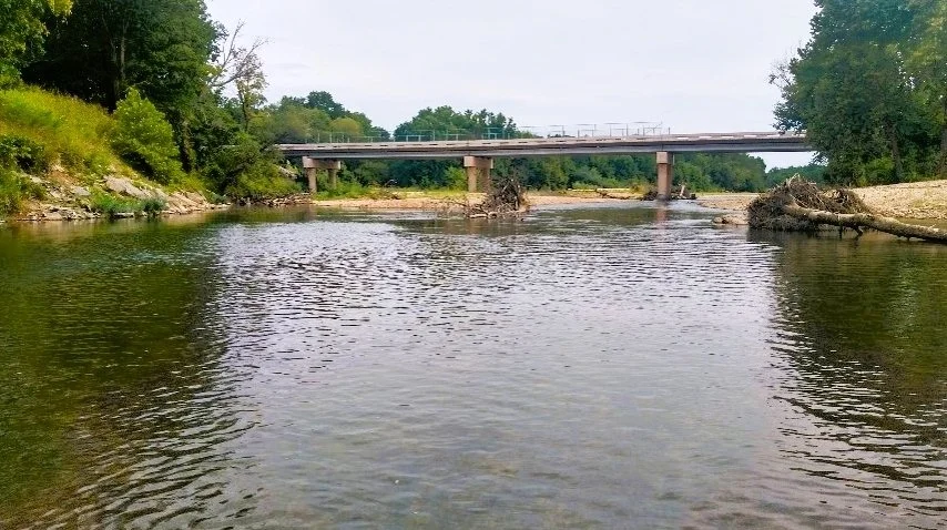
Visual on a site with high macroinvertebrate diversity.
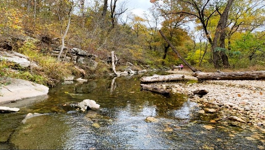
Visual on a site with low macroinvertebrate diversity.
The Barren Fork subwatershed underwent a 6% increase in developed land area from 1992 to 2019. This is likely caused by the conversion of pasture land.
Of all stream reaches studied in Oklahoma, Barren Fork has the lowest average MDIS. This may be in part due to erosion and substrate disturbance identified near the sites studied. It has the lowest average nitrate of all subwatersheds studied, and it is the only stream reach under study to average below the criteria standard for TP.

Caney Creek
Caney Creek is a largely rural watershed and is dominated by forested hillsides and agricultural pastures. This area of land is home to high quality ecological communities as well as the westernmost portions of the Boston Mountain range. The headwaters of the creek begin along Highway 59 close to Stilwell in Adair County, Oklahoma. The creek flows westward and eventually drains into Lake Tenkiller. There is no confluence between Caney Creek and either the Illinois River or the Barren Fork tributary. Ground was broken in April of 2024 for the development of a new water 2024 Ecological Assessment of the Illinois River Watershed treatment plant which will expand its capacity to serve rural water districts throughout Adair County.

Visual comparison of sites with high (left), medium (center) and low (right) macroinvertebrate diversity across Caney Creek's three sites.

The Caney Creek Subwatershed has undergone a 10% decrease in pasturelands and forested lands from 1992 through 2019. Continued loss of forested lands could have a significant impact on ecosystem health in this region. Deforestation has waned since 2016 and no change in forest land cover was observed through 2019.
Total phosphorus and sulfate concentrations both showed a consistent increase over time. Nitrate and total coliform concentrations, however, decreased over time

Flint Creek
The headwaters of Flint Creek are located in rural parts of Benton County, Arkansas. The creek flows into Oklahoma where it converges with Sager Creek and then into the main stem of the Illinois River. Flint Creek is a relatively small and unknown tributary. Most of its land coverage is forested area with some pastureland and minimally developed land. Therefore, it remains a high-quality, scenic stream system surrounded by forested lands. It consistently is the highest scoring sub-watershed for MDIS that IRWP assesses, which are an indicator for thriving and healthy freshwater ecosystems.

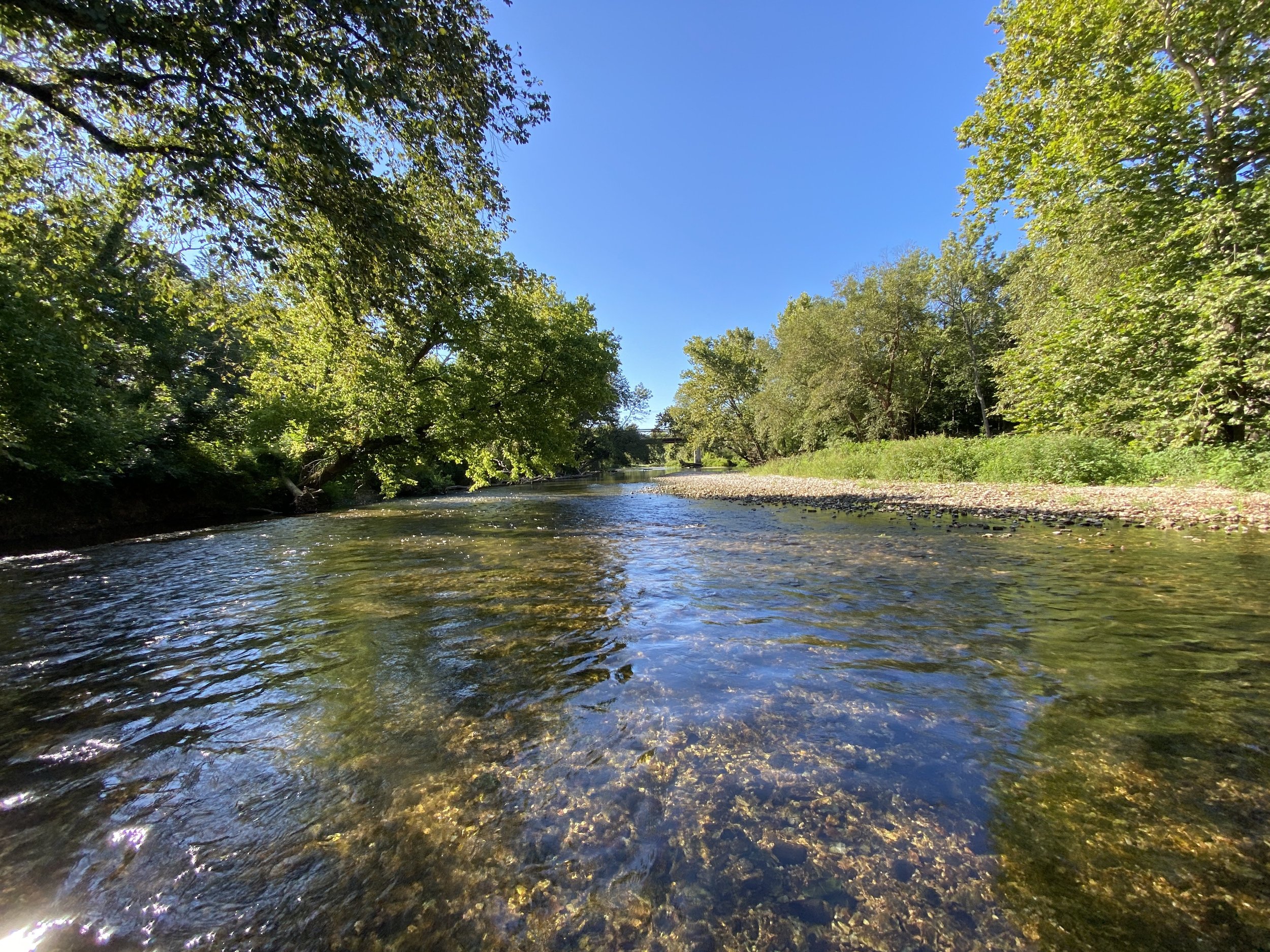
Visual on a Flint site with high macroinvertebrate diversity.

Visual on a Flint site with low macroinvertebrate diversity.
After showing a 4% increase in forested land between 1992 and 2016, 3 percent of that gain was lost between 2016 and 2019.
Flint creek provide habitat with little silt/clay/mud stream bottom substrate. Rural land use upstream of these sites likely preserves stream bottom composition, prevents erosion and silt/mud loading, and protects macroinvertebrate communities. Flint Creek had the lowest average total coliform concentration of all sub-watersheds under study and has shown a steady decrease over time. Flint Creek has the highest average MDIS of all stream reaches assessed in the 2024 EcoAssessment

Town Branch
Town Branch flows from north to south through the city of Tahlequah, Oklahoma where it connects with the Illinois River to the southeastern edge of the city. This stream has been impacted by the pressures of urbanization. The City of Tahlequah and Grand River Dam Authority have taken steps to mitigate such challenges as bacteria presence and nutrient surplus through several stream and riparian area restoration projects. This sub-watershed contains a point source of pollution, the Tahlequah wastewater treatment facility which services the city and surrounding areas.

Visual on a Town Branch sight with high macroinvertebrate diversity.

Visual on a Town Branch sight with lower macroinvertebrate diversity.
Between 1992 and 2019, the Town Branch sub-watershed lost 8% of pasture/hay land use and 5% of forested land. Developed land has increased by 10% since 1992 through 2019.
Town Branch shows a diverse streambed composition with a large portion of bedrock. This could indicate water moving at high velocities through the stream channel during peak flow events. The above image on the left represents a typical stream reach within the city limits of Tahlequah – a mix of lawn, urban forest, and low density residential or commercial development. The second sight (right) is a restored section of the stream. This site contains structured riffles, runs, and pools along with re-established riparian buffers. Town Branch’s average MDIS has consistently increased over time. It has the highest average total coliform concentration of the Oklahoma stream reaches, but this average is still lower than all Arkansas stream reaches. Although average total coliform concentration has been consistently decreasing over time, there is a troubling trend that average nitrate, TP, and sulfate concentrations have been increasing over time.
Our objective in performing this assessment was to provide decision makers within each subwatershed with information to make informed decisions regarding land use, urban planning, stormwater mitigation, and natural resource conservation opportunities.
-
For this four-year study, macroinvertebrate diversity was most related to components of the streambed and not necessarily related to components of the streambank or surrounding land use. Diversity was positively related to the presence of cobbles and gravel in the streambed and negatively related to the presence of silt, clay, and mud in the streambed. Assuming the presence of cobbles and gravel is the “natural” state (i.e. would be present at all sites if it were not for the presence of silt, clay, and mud), management recommendations include practices that have been shown to reduce the presence of these small, light, and highly erodible soil particles that are introduced to the stream via either over-land flow during rain events or streambank erosion. Other studies conducted by IRWP indicate that streambank erosion from both urban and rural settings is one of the largest contributors of phosphorus to the watershed.
-
Land use has not changed significantly across the entire watershed but is changing significantly in one area of the watershed. The population of Northwest Arkansas is expected to almost double over the next 20 years and most of the resulting land use change will occur in the Illinois River Watershed. It will likely occur in the form of pasture lands and farms converting to low density residential and commercial developments. Conserving and restoring high-value natural resources needs to happen now as prevention is (generally) much less expensive than remediation. Interestingly, two urban subwatersheds, Sager Creek and Town Branch, that recently embarked on urban stream restoration projects had relatively high macroinvertebrate diversity, indicating that such projects can prevent erosion and deposition of sediment, as well as restore ecological function.
-
Get the the full report for the last four years and data for Oklahoma and Arkansas by clicking on the button at the top of this page.